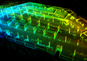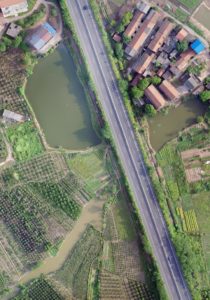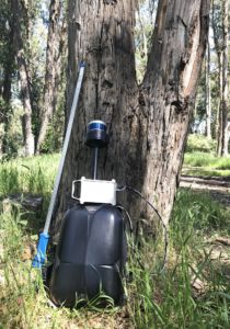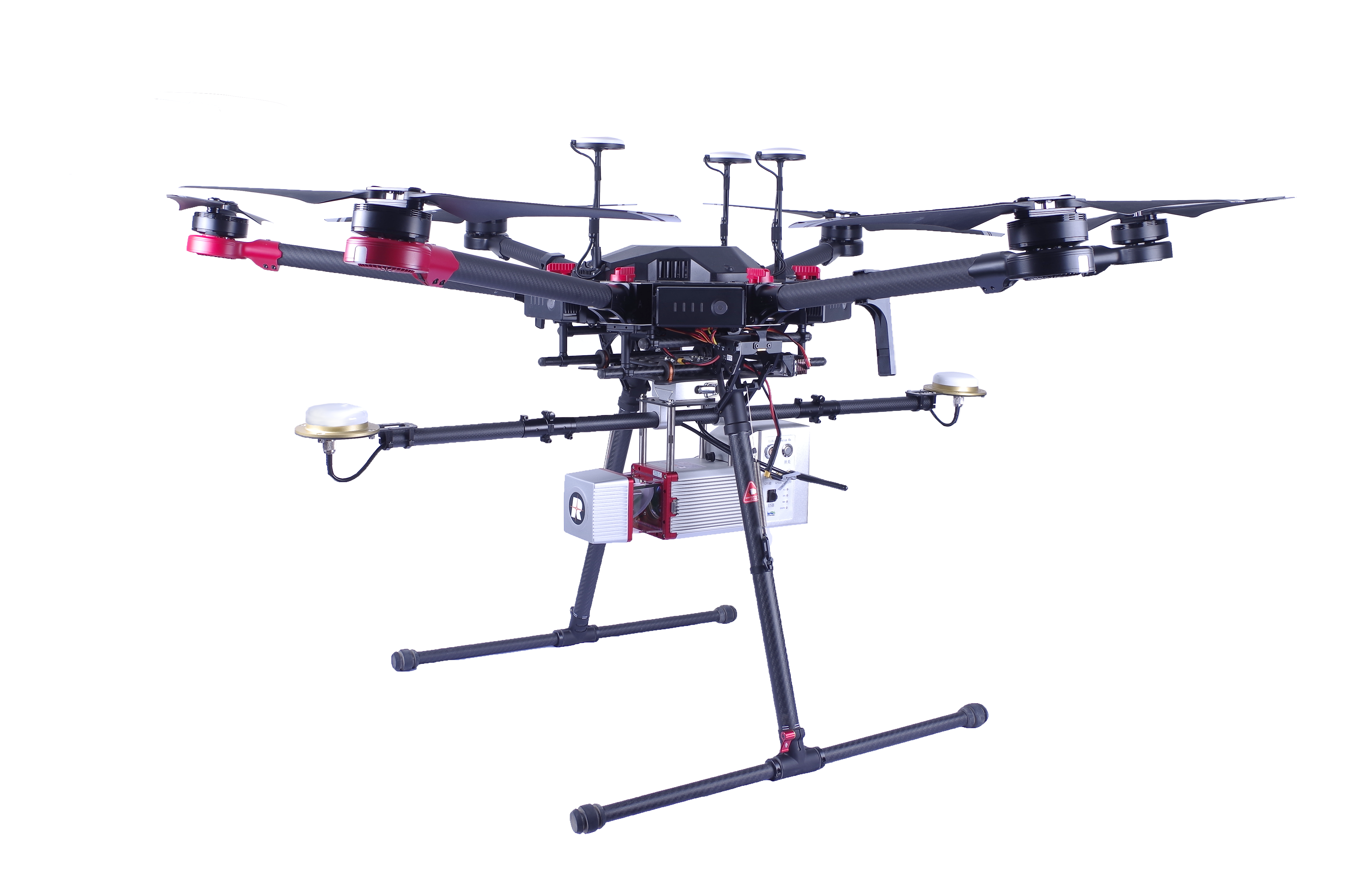
Our flagship software, LiDAR360, provides tools for efficiently visualizing, generating & manipulating LiDAR point clouds. Analyze your data with TB level processing power. This comprehensive solution to post-processing LiDAR point cloud data includes industry specific modules which allows for a better user experience and quicker, more efficient results. The Terrain, ALS Forest, TLS Forest, Strip Alignment & Powerline Modules can be purchased separately or as a complete software suite depending on your company/project needs.
*LiForest 2.1 has now been discontinued. All features have been upgraded and included in ALS/TLS Forestry Modules. LiForest users are encouraged to contact us for information regarding upgrades and maintenance.
The LiDAR360 Framework lays the foundation for the entire software suite. As such, we continually aspire to include tools required for effectively visualizing and manipulating LiDAR point cloud data. The Framework allows users to perform automatic strip adjustment, classify data, edit vectors and upgrade to more specific modules when necessary. The visualizer and data management tools are completely free.
GVI is a turnkey provider in 3D mapping systems, post-processing software and GIS consultation. Our goal is provide a one-stop geospatial solution for clients from forestry, ecology, energy infrastructure, BIM and more.
